Tuesday, July 22, 2014

Da Nang, Vietnam

Đà Nẵng is one of the major port cities in Vietnam (in addition to Ho Chi Minh City and Hai Phong) and the biggest city on the South Central Coast of Vietnam; the city is situated on the coast of the South China Sea, at the opening end of the Hàn River. Đà Nẵng is the commercial and educational center of Central Vietnam, with a well-sheltered, easily accessible port; its location on the path of National Route 1A and the North–South Railway makes it a hub for transportation. It is located within 100 km of several UNESCO World Heritage Sites, including the Imperial City of Huế, the Old Town of Hội An, and the Mỹ Sơn ruins. The city was previously known as Cửa Hàn during early Đại Việt settlement, and as Tourane (or Turon) during French colonial rule. It is the third biggest economic center in Vietnam (after Ho Chi Minh City and Hanoi).
Before 1997, the city was part of Quảng Nam-Đà Nẵng Province. On 1 January 1997, Đà Nẵng was separated from Quảng Nam Province to become one of five independent (centrally controlled) municipalities in Vietnam. Đà Nẵng is listed as a first class city,[2] and has a higher urbanization ratio than any of Vietnam's other provinces or centrally governed cities.[3] In terms of urban population, Đà Nẵng is the fifth largest city in Vietnam.[4] Most of the names by which Đà Nẵng has been known make reference to its position at the Hàn River estuary. The city's present name is generally agreed to be a Vietnamese adaptation of the Cham word da nak, which is translated as "opening of a large river".[5][6]


Map of Annam drafted by Alexandre de Rhodes. "Cua han" appears along the coast (upside-down, left of centre). Other Chamic sources, with similar definitions, have been proposed. Inrasara (aka Phú Trạm), a researcher specializing in Champa, suggests Đà Nẵng is a variation of the Cham word daknan (lit. "the large water"); Sakaya (aka Văn Món), another Champa researcher, claims a connection with the Raglai word danang, meaning "river source".[7] Another name given to Đà Nẵng was Cửa Hàn (lit. "mouth of the Han [river]"). The name used by the French, Tourane, is said to derive from this name, by way of a rough transliteration.[8] Notably, this name (spelled "Cua han") appears on maps of the area drafted by Alexandre de Rhodes in 1650. The name Kean (cf. Kẻ Hàn, roughly "Han market") was another name purportedly used during the 17th century to refer to the land situated at the foot of the Hải Vân Pass.[5]
Other names referring to Đà Nẵng include:[5]
Vũng Thùng, a colloquial name which survives in folklore.[nb 1] Trà Úc, Trà Áo, Trà Sơn and Đồng Long Loan, literary names used by Confucian scholars. In Sino-Vietnamese script, used until 1945, "Đà Nẵng" is written as 沱灢. Thái Phiên, a name used briefly after the 1945 August Revolution, commemorating Thái Phiên, the leader of popular revolts during the 1916 Duy Tân Resistance.

History 

The city's origins date back to the ancient Champa Kingdom, established in 192 AD. At its peak, the Chams' sphere of influence stretched from Huế to Vũng Tàu. The city of Indrapura, at the site of the modern village of Dong Duong in Quảng Nam Province (about 50 km (31 mi) from Da Nang), was the capital of Champa from about 875 to about 1000 AD. Also in the region of Da Nang were the ancient Cham city of Singhapura ("City of the Lion"), the location of which has been identified with an archeological site in the modern village of Trà Kiệu, and the valley of Mỹ Sơn,[9] where a number of ruined temples and towers can still be viewed.
In the latter half of the 10th century, the kings of Indrapura came into conflict with the Đại Việt, who were then based at Hoa Lư near modern Hanoi.[10] In 982, three ambassadors sent to Champa by King Lê Hoàn of the Đại Việt (founder of the Early Lê Dynasty) were detained in Indrapura. Lê Hoàn decided to go on the offensive, sacking Indrapura and killing the Cham King Parameshvaravarman I. As a result of these setbacks, the Cham eventually abandoned Indrapura around 1000 AD.[11] The Đại Việt campaign against Champa continued into the late 11th century, when the Cham were forced to cede their three northern provinces to the rulers of the Lý Dynasty. Soon afterwards, Vietnamese peasants began moving into the untilled former Cham lands, turning them into rice fields and moving relentlessly southward, delta by delta, along the narrow coastal plain. The southward expansion of Đại Việt (known as Nam Tiến) continued for several centuries, culminating in the annexation of most of the Cham territories by the end of the 15th century.
One of the first Europeans to visit Đà Nẵng was Portuguese explorer António de Faria, who anchored in Đà Nẵng in 1535. Faria was one of the first Westerners to write about the area and, through his influence, Portuguese ships began to call regularly at Hội An, which was then a much more important port than Đà Nẵng.[12] Throughout the 17th and 18th centuries, French and Spanish traders and missionaries regularly made landfall at Hội An, just south of Đà Nẵng. An American, John White, arrived at Da Nang (then called Turon) on 18 June 1819 in the brig Franklin of Salem, Massachusetts, and was advised that the country was recovering from devastating wars, and that what little produce there was had already been promised. Other American ships arriving shortly after were the Marmion of Boston, and the Aurora and Beverly of Salem.[13][14] Conditions were such that they were unable to conduct trade, and the subsequent missions of British East India Company agent John Crawfurd in 1823[15] and the two missions of Andrew Jackson's agent, diplomatist Edmund Roberts, in 1833 and 1836 were unable to secure trade agreements.[13]:pp.19–40 Following the edict of Emperor Minh Mạng in 1835, prohibiting European vessels from making landfall or pursuing trade except at Hàn Port, Đà Nẵng quickly surpassed Hội An, becoming the largest commercial port in the central region.
In 1847, French vessels dispatched by Admiral Cécille bombarded Đà Nẵng, ostensibly on the grounds of alleged persecution of Roman Catholic missionaries. In August 1858, once again ostensibly on the grounds of religious persecution, French troops, led by Admiral Charles Rigault de Genouilly, and under the orders of Napoleon III, landed in Đà Nẵng as part of the punitive Cochinchina Campaign. The French overpowered the Vietnamese stationed in Đà Nẵng, swiftly occupying the city and Tiên Sa peninsula (present-day Sơn Trà peninsula). Despite their initial success, the occupying forces were quickly placed under siege by the Vietnamese army under the command of Nguyễn Tri Phương, and were eventually forced to retreat in March 1860. Conversely, however, the French were able to capture the southern stronghold of Saigon and, in June 1862, several provinces of southern Vietnam were ceded to the French as Cochinchina with the signing of the Treaty of Saigon.
Through two more decades of conflict, the French gradually strengthened their hold on Vietnam, culminating in the establishment of French Indochina (French: Union de l'Indochine Française) in October 1887.[16] Two years later, in 1889, the French colonists renamed the city Tourane, placing it under the control of the Governor General of Indochina.[17] It came to be considered one of Indochina's five major cities, among Hanoi, Saigon–Cholon, Hải Phòng, and Huế.

Geography 

Đà Nẵng is the largest city in central Vietnam and one of the country's most important ports. Ringed by mountains on one side and the South China Sea on the other, Đà Nẵng borders Thừa Thiên–Huế Province across the Hải Vân Pass to the north, Quảng Nam Province to the south and west, and the ocean to the east. It is 759 km (472 mi) south of Hanoi, and 960 km (600 mi) north of Hồ Chí Minh City.[20]

Natural disasters 

Widespread flooding in Đà Nẵng in the wake of Typhoon Ketsana. Đà Nẵng is susceptible to damage from typhoons that cross into the South China Sea. In 2006, the landfall of Typhoon Xangsane near the city of Huế caused 26 deaths in Đà Nẵng, damaging and destroying homes, downing trees and power lines and flooding major streets.[26][27]
Authorities in Đà Nẵng estimated the damage caused by Xangsane at around US$ 200 million, with more than 5,000 houses washed away, 166,000 homes damaged and 19 boats sunk.[28] Three years later, Typhoon Ketsana made its landfall about 37 miles (60 km) south of Đà Nẵng, again causing widespread flooding. Ketsana left eight people dead and 96 injured in Đà Nẵng, and caused an estimated VND 495 billion (US$25 million) in damage.[29][30]
Shortly after the 2011 Tōhoku earthquake, which triggered a powerful tsunami, the People's Committee of Đà Nẵng approved the installation of 10 early tsunami warning stations throughout the city, the first of their kind in Vietnam. Officials expected the stations would provide at least thirty minutes of warning in case of a tsunami. According to Le Huy Minh, Director of the Earthquake and Tsunami Warning Centre at the Vietnam Institute of Geophysics, a powerful earthquake (≥8 MW) in the waters north of the Philippines could pose a significant danger to the Vietnamese coastline, particularly the area around Đà Nẵng.[31]

Tourism 

See also: Hội An and Mỹ Sơn
Gateway leading to Huyen Khong Cave in the Marble Mountains.
Cable car in Bà Nà Mountains The tourism sector is a vital component of Da Nang's economy. Its status as a transportation hub for Central Vietnam and its proximity to several UNESCO World Heritage Sites, including the Imperial City of Huế, the Old Town of Hội An, and the Mỹ Sơn ruins fuels much of its tourist activity.
Mỹ Sơn is an archaeological site dating back more than a thousand years, in Quảng Nam. Located in a remote forested valley some 70 km west of Đà Nẵng, this former capital and religious center of the Champa kingdom once contained in excess of 70 style temples and stupas. Although badly damaged by bombing raids in the 1960s, the site still has more than 20 structures and was declared a UNESCO World Heritage Site in 1999. Many statues, sculptures and reliefs recovered from Mỹ Sơn are kept in the Museum of Cham Sculpture, near the Hàn River in the heart of Đà Nẵng. Dating from the fourth to the 14th centuries, the sensual artwork on these works depicts daily activities as well as Hindu and Buddhist religious themes.
The Marble Mountains are rocky limestone outcrops jutting out of the beach just south of Đà Nẵng. Paths lead to the top of the forested cliffs, affording spectacular views of Non Nuoc Beach and the South China Sea. The caves nestled in the cliffs were originally inhabited by the Cham people. Later, the Nguyễn Dynasty built numerous pagodas among the caves. The Marble Mountains are home to various artisans producing sculpture and artwork at its base at Non Nước Village. Non Nuoc Beach is a white sandy beach on the outskirts of Đà Nẵng is renowned for both its spectacular beauty and for its history as an R&R destination for American troops during the Vietnam War, when it was known as "China Beach".[46][47][48][49] Today, the beach, along with My Khê beach to the north, are home to expensive resorts, surfing and entertainment facilities. Bà Nà Hills is a mountain resort with a 5 km-long cable car system which carries guests up to Bà Nà's peak at 1487m above sea level. Sơn Trà Mountain, just some miles away from downtown with some wild streams and resorts along the seaside.[citation needed]


l
 Hội An

 Mỹ Sơn

Wednesday, July 16, 2014

Nice travel pictures on the world

Budapest Hungary


Chicago US


Edinberg Scotland


Edinburgh Scotland


Hamburg City Port Sunset Germany


Paris France by Ilya Shtrom


Princess Tower Dubai Marina


Shanghai China


Sandhamn Sweden


Rio de Janerio Brazil


Tokyo Japan


Venice Italy

Thursday, July 3, 2014

Sapa Vietnam, Asia


or Sapa, is a frontier town and capital of Sa Pa District in Lào Cai Province in northwest Vietnam. It is one of the main market towns in the area, where several ethnic minority groups such as Hmong, Dao (Yao), Giáy, Pho Lu, and Tay live.

Sa Pa is a frontier town and capital of Sa Pa District in Lào Cai Province in northwest Vietnam. It was first inhabited by people we know nothing about. They left in the entire valley hundreds of petroglyphs, mostly composed of lines, which experts think date from the 15th century and represent local cadastres. Then came the highland minorities of the Hmong and Yao. The town is one of the main market ones in the area, where several ethnic minority groups such as Hmong, Dao (Yao), Giáy, Pho Lu, and Tay live. groups, as well as by smaller numbers of Tày and Giay. These are the four main minority groups still present in Sa Pa district today. The Kinh (lowland Vietnamese) never originally colonised this highest of Việt Nam’s valleys, which lies in the shadow of Phan-Xi-Pǎng (Fansipan, 3143 m), the highest peak in the country.[1]


http://adf.ly/q2UOy


History

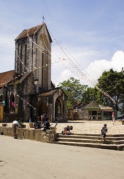
The Catholic church in Sa Pa, built in stone in 1930
It was only when the French debarked in highland Tonkin in the late 1880s that Sa Pa, or Chapa (from Chinese Xa Pa, the "sandy place"), as the French called it, began to appear on the national map. In the following decade, the future site of Sa Pa town started to see military parties as well as missionaries from the Société des Missions Etrangères de Paris (MEP) visit.[2] The French military marched from the Red River Delta into the northern mountainous regions as part of Tonkin's ‘pacification’. In 1894-96 the border between China and Tonkin was formally agreed upon and the Sa Pa area, just to the south of this frontier, was placed under French authority. From 1891 the entire Lào Cai region, including Sa Pa, came under direct colonial military administration so as to curtail banditry and political resistance on the sensitive northern frontier.[3]

http://adf.ly/q2UOy


The first permanent French civilian resident arrived in Sa Pa in 1909. With its attractive continental climate, health authorities believed the site had potential. By 1912 a military sanatorium for ailing officers had been erected along with a fully fledged military garrison. Then, from the 1920s onwards, several wealthy professionals with enough financial capital also had a number of private villas built in the vicinity.

At the end of the Second World War a long period of hostilities began in Tonkin that was to last until 1954. In the process, nearly all of the 200 or so colonial buildings in or around Sa Pa were destroyed, either by Việt Minh sympathisers in the late 1940s, or, in the early 1950s by French air raids. The vast majority of the Viet population fled for their lives, and the former town entered a prolonged sleep.

In the early 1960s, thanks to the New Economic Zones migration scheme set up by the new Socialist regime, new inhabitants from the lowlands started to migrate to the region.

The short 1979 occupation of the northern border region by Chinese troops had little impact on Sa Pa town, but did force the Kinh (lowland Vietnamese) population out for a month.

In 1993 the last obstacle to Sa Pa's full rebirth as a prominent holiday destination was lifted as the decision was made to open the door fully to international tourism. Sa Pa was back on the tourist trail again, this time for a newly emerging local elite tourist crowd, as well as international tourists.[4]

Sapa is now in full economic boom, mainly from the thousands of tourists who come every year to walk the hundreds of miles of trekking trails between and around the villages of Dao villages of Ta Van and Ta Phin.

In 2006, the Chairman of The People's Committee of Sapa Province was elected to The Communist Party Central Committee as the youngest ever member (born in 1973).

Geography

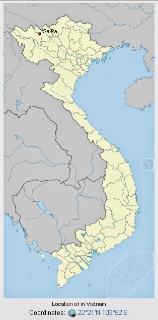
Sa Pa District is located in Lào Cai Province, north-west Vietnam, and 380 km north-west of Hanoi, close to the border with China. The Hoàng Liên Son range of mountains dominates the district, which is at the eastern extremity of the Himalayas. This range includes Vietnam's highest mountain, Fan Si Pan, at a height of 3143 m above sea level. The town of Sa Pa lies at an altitude of about 1500 meters (4921 feet) above sea level. The climate is moderate and rainy in summer (May—August), and foggy and cold with occasional snowfalls in winter.

http://adf.ly/q2UOy


View on the mountains from downtown Sapa
Sa Pa is a quiet mountain town and home to a great diversity of ethnic minority peoples. The total population of 36,000 consists mostly of minority groups. Besides the Kinh (Viet) people (15%) there are mainly 5 ethnic groups in Sapa: Hmong 52%, Dao 25%, Tay 5%, Giay 2% and a small number of Xa Pho. Approximately 7,000 live in Sapa, the other 36,000 being scattered in small communes throughout the district.


Terraced fields in Sa Pa
Most of the ethnic minority people work their land on sloping terraces since the vast majority of the land is mountainous. Their staple foods are rice and corn. Rice, by its very nature of being a labour intensive crop, makes the daily fight for survival paramount. The unique climate in Sapa has a major influence on the ethnic minorities who live in the area. With sub-tropical summers, temperate winters and 160 days of mist annually, the influence on agricultural yields and health related issues are significant.

The geographical location of the area makes it a truly unique place for many interesting plants and animals, allowing it to support many inhabitants. Many very rare or even endemic species have been recorded in the region.


Sa Pa town hall

The scenery of the Sa Pa region in large part reflects the relationship between the minority people and nature. This is seen especially in the paddy fields carpeting the rolling lower slopes of the Hoàng Liên Mountains. The impressive physical landscape which underlies this has resulted from the work of the elements over thousands of years, wearing away the underlying rock. On a clear day, the imposing peak of Fan Si Pan comes into view. The last major peak in the Himalayan chain, Fan Si Pan offers a real challenge to even the keenest walker, the opportunity of staggering views, and a rare glimpse of some of the last remaining primary rain forest in Vietnam.

Geology, climate and human activity have combined to produce a range of very distinct habitats around Sa Pa. Especially important is Sa Pa's geographic position, at the convergence of the world's 14 “biomes” (distinct biographic areas), producing an assemblage of plant and animal species unique in the world.

In 2014, Sapa is ranked #9 in the top 10 rice terrace destinations of the world by SpotCoolStuff

http://adf.ly/q2UOy


Ecological life

The Hoàng Liên Mountains are home to a rich variety of plants, birds, mammals, amphibians, reptiles and insects, many only found in northwestern Vietnam. For this reason, the Hoàng Liên Nature Reserve was made a National Park in 2006, and covers much of the mountain range to the immediate south of Sa Pa.

Forest type and quality change with increasing altitude. At 2000 meters the natural, undisturbed forest begins to be seen. Above 2500 meters dwarf conifers and rhododendrons predominate in the harsh “elfin forest” , so called because a lack of topsoil and nutrients means that fully mature trees grow to measure only a few meters in height. Higher still, only the hardiest of plant species are found. At over 3000 meters, Fan Si Pan's summit can only support dwarf bamboo.


Topography
The Hoang Lien Mountains lie at the southeastern extent of the Himalayan chain. The national park is located on the northeast flank of these mountains and includes Vietnam's highest peak, Fansipan, at 3,143 m (see map). The lowest point is 380 m but most of the national park lies above 1,000 m. The flanks of the mountains are very steep and many areas are almost inaccessible on foot. Between Fansipan Mountain and Sa Pa town, lies the Muong Hoa valley, which has been terraced for wet rice agriculture. This valley becomes wider towards the east of the national park.

Climate

The climate of Hoàng Liên National Park is unique to Vietnam. It is highly seasonal, with a subtropical climate in the summer and a temperate climate during the winter. Under the Köppen climate classification, Sa Pa has a subtropical highland climate (Cwb). Mean annual temperature for Sa Pa town is 15.4 °C (59.7 °F), with a maximum of 29.4 °C (84.9 °F) and a minimum of 1.0 °C (33.8 °F). The warmest months are July and August, and the coldest months are December and January. Snow falls in some years on the highest peaks. It has snown in the town itself in 1983,[5] 2000,[5][6] 16 March 2011,[5][6][7] 15 December 2013,[8][9][10][11] and 19 February 2014.[12]

In common with the rest of northern Vietnam, Hoàng Liên National Park experiences a marked wet season from May to September, with the heaviest rainfall occurring in July and August. Mean annual rainfall is 2,763 millimetres (108.8 in), with a high of 4,023 millimetres (158.4 in) and a low of 2,064 millimetres (81.3 in). Humidity ranges from 75 to 91 percent with a yearly mean of 86 percent.

Climate varies considerably within the national park. The prevalent wind direction for most of the year is west to east, leading to cloud formation on the upper slopes of the Fansipan massif. These high-altitude areas are covered by cloud most days of the year and have very high humidity. Cloud also penetrates into the valleys but these areas are usually less humid than the mountain slopes. In the extreme east of the national park, around Ban Ho village, mean temperatures are considerably higher due to the lower altitude of these areas.

Extreme temperatures have ranged from −6.1 °C (21.0 °F) to 33 °C (91.4 °F).[13]

Geology

The geology of Hoàng Liên National Park includes metamorphosed sediments and a granitic intrusion. The metamorphosed sediments strike from northwest to southeast along the Muong Hoa valley. On the northeastern side of the valley is a craggy ridge of marble and metamorphosed carbonate rocks that exhibit a karst style of weathering. These formations are currently being quarried for road building. The valley floor is characterised by schist and, to a lesser extent, gneiss. The granitic intrusion extends from the Muong Hoa River to the summit ridge of Fansipan and beyond. Due to the high humidity and rainfall in the area, chemical weathering is prevalent. This is reflected in the clay nature of the soil.

Economic and social development
Before the 1990s, the town's economy was mainly based on small size agriculture.

Tourist arrival between 1995 and 2003 grew from a total of 4,860 to 138,622. On average, 79% of the visitors are Vietnamese and 21% are foreigners.[citation needed]

The people of the Sa Pa area have been very poor even by Vietnam's rural standards.[16] Efforts to improve the situation for the local people include both governmental and non-governmental initiatives. The government of Vietnam and foreign governments have contributed to local development programs.[17] International non-governmental organizations such as Oxfam have also been involved in Sa Pa.[18] Locally, the Hmong-run social enterprise, Sapa O'Chau, organizes volunteer placements, such as English teaching, and visiting through trekking and homestays at local villages for short or long-term periods.[19] Vocational training by the Hoa Sua School also aims to increases skills and earnings potential for local residents.[20]

Hydrology
Hoàng Liên National Park is drained by the Muong Hoa and Ta Trung Ho rivers, which feed the Nam Po River and, finally, the Song Hong (Red) river. The forest has an essential role in water catchment protection, particularly the forest at high altitudes, which is frequently covered in cloud. Water condenses on the vegetation and falls as ‘occult’ precipitation. Occult precipitation makes a major contribution to stream-flow during the dry season when rainfall is low.

http://adf.ly/q2UOy


Vegetation
The forest of Hoàng Liên National Park can be classified as belonging to 3 types: sub-montane dry evergreen forest, tropical montane deciduous forest and sub-alpine forest. The sub-montane dry evergreen forest, which occurs at lower altitudes, has been the most heavily disturbed by the activities of man.

In addition to the forest habitats, the national park contains large areas of agricultural land, scrub land and Savannah. Agriculture is concentrated at altitudes below 1,500m, in the bottom of valleys. Scrub land and Savannah areas are found where forest has been cleared: around the edge of cultivated areas and on ridge tops, which have been subjected to burning. A final vegetation type represented at Hoàng Liên National Park is dwarf bamboo. This habitat is confined to the highest ridges of the Fansipan massif, at altitudes above 2,800 m.

Beautiful landscapes in the world


ngắm, chuên ngưỡng, cảnh đẹp
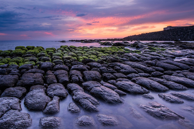
Taiwan

ngắm, chuên ngưỡng, cảnh đẹp
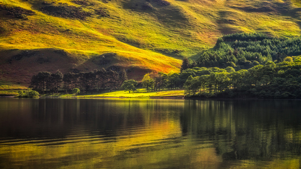
Crummock, England

ngắm, chuên ngưỡng, cảnh đẹp
Dockey, England.

ngắm, chuên ngưỡng, cảnh đẹp
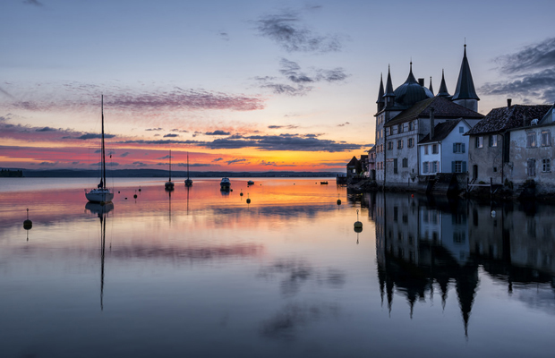
Steckborn, Swetherland

ngắm, chuên ngưỡng, cảnh đẹp
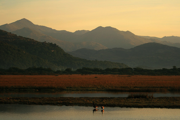
Snowdonia, Wales
ngắm, chuên ngưỡng, cảnh đẹp
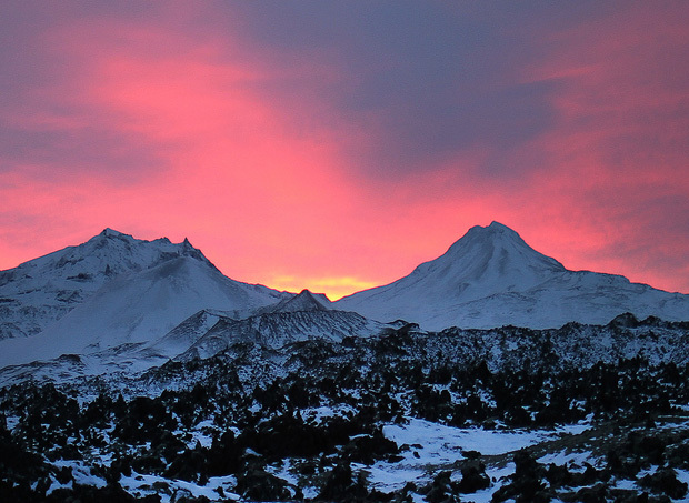
Iceland
ngắm, chuên ngưỡng, cảnh đẹp
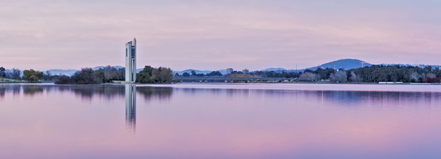
Carillon tow
 ngắm, chuên ngưỡng, cảnh đẹp
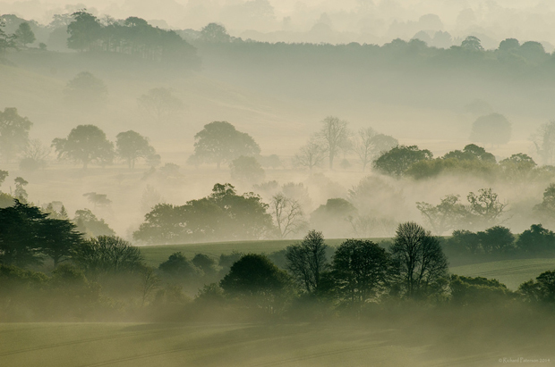
South Downs, England
ngắm, chuên ngưỡng, cảnh đẹp
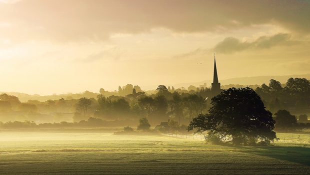
Gloucestershire, England
ngắm, chuên ngưỡng, cảnh đẹp
 Warwickshire, England
ngắm, chuên ngưỡng, cảnh đẹp
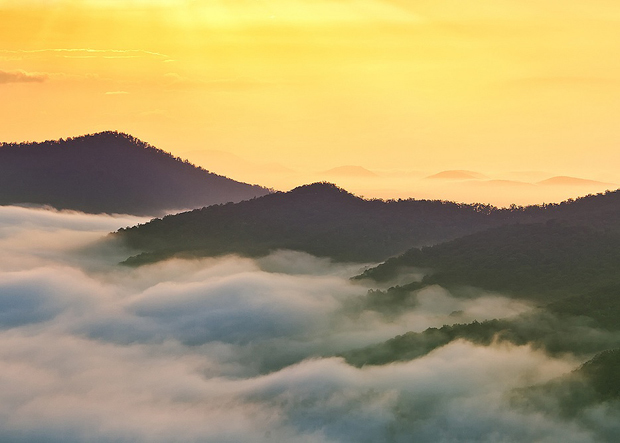
Blue Ridge, Utah
ngắm, chuên ngưỡng, cảnh đẹp
Bromo, Indonesia
ngắm, chuên ngưỡng, cảnh đẹp
California, USA.
ngắm, chuên ngưỡng, cảnh đẹp
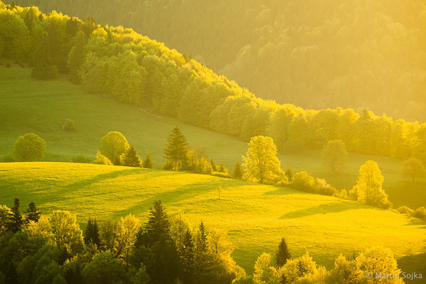
Slovakia

ngắm, chuên ngưỡng, cảnh đẹp
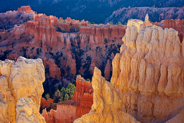
Inspiration Point, Bryce Canyon

ngắm, chuên ngưỡng, cảnh đẹp
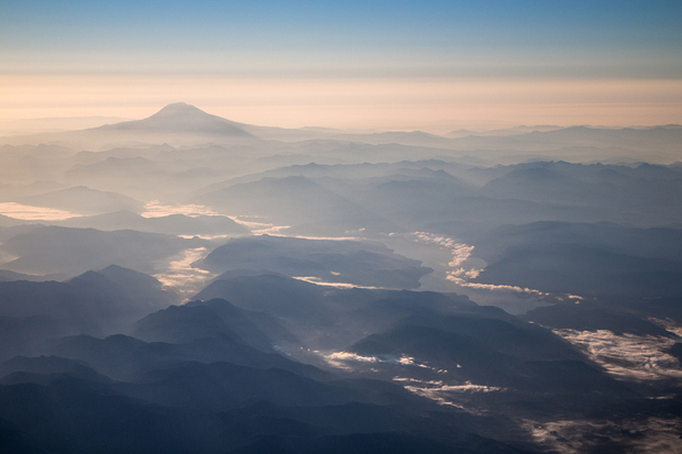
Cascade, Washington
ngắm, chuên ngưỡng, cảnh đẹp
Oxbow Ben lake
ngắm, chuên ngưỡng, cảnh đẹp
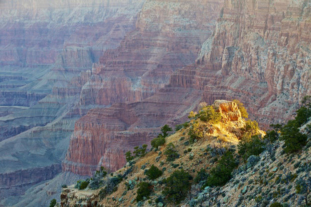
Grand Canyon

Thursday, June 26, 2014

World Cup Schedule 2014: Complete Fixtures List for Knockout Bracket

Knock out World cup 2014 Brasil


World Cup 2014: Last 16 Schedule
DateTime (BST/ET)Fixture
June 285 p.m./NoonBrazil vs. Chile
June 289 p.m./4 p.m.Colombia vs. Uruguay
June 295 p.m./NoonNetherlands vs. Mexico
June 299 p.m./4 p.m.Costa Rica vs. Greece
June 305 p.m./NoonFrance vs. Nigeria
June 309 p.m./4 p.m.Germany vs. Algeria
July 15 p.m./NoonArgentina vs. Switzerland
July 19 p.m./4 p.m.Belgium vs. USA
BBC Sport


28/6, Brazil vs Chile (Mineirao stadium, Belo Horizonte)
28/6, Colombia vs Uruguay (Maracana stadium, Rio)
29/6, Netherlands vs Mexico (Castelao stadium, Fortaleza)
29/6, Costa Rica vs Greece (Pernambuco stadium, Recife)
30/6, France vs Nigeria (Nacional stadium, Brasilia)
30/6Đức vs Algeria (Beira-Rio stadium, Porto Alegre)
1/7Argentina vs switerland (Sao Paulo stadium, Sao Paulo)
1/7Belgium vs USA (Fonte Nova stadium, Salvador)

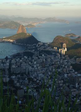
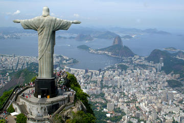
Visit Rio De Janeiro

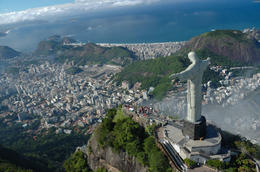
Corcovado Mountain and Christ Redeemer Statue Half-Day Tour


http://adf.ly/ps30n


http://adf.ly/ps30n 


http://adf.ly/ps30n 


http://adf.ly/ps30n


Rio de Janeiro (/ˈriːoʊ di ʒəˈnɛəroʊ, -deɪ ʒə-/; Portuguese pronunciation: [ˈʁi.u dʒi ʒɐˈnejɾu],[2] January River), commonly referred to as simply Rio,[3] is the capital city of the State of Rio de Janeiro, the second largest city of Brazil, and the third largest metropolitan area and agglomeration in South America. There are approximately 6.3 million people living within the city proper,[4][5] making it the 6th largest in the Americas and 26th in the world.[6] Part of the city has been designated as a World Heritage Site, named "Rio de Janeiro: Carioca Landscapes between the Mountain and the Sea", identified by UNESCO on 1 July 2012 in the category Cultural Landscape.[7]

Founded in 1565, by the Portuguese, the city was initially the seat of the Captaincy of Rio de Janeiro, a captaincy of the Portuguese Empire. It later, in 1793, became the capital of the State of Brazil, a State of the Portuguese Empire. In 1808, when the Portuguese Royal Court transferred itself from Portugal to Brazil, Rio de Janeiro became the chosen seat of the court of Queen Maria I of Portugal, who subsequently, in 1815, under the leadership of her son, the Prince Regent, and future King João VI of Portugal, raised Brazil to the dignity of a kingdom, within the United Kingdom of Portugal, Brazil, and Algarves. Rio stayed the capital of the pluricontinental Lusitanian monarchy until 1822, when the War of Brazilian Independence began. It subsequently served as the capital of the independent monarchy, the Empire of Brazil, until 1889, and then the capital of a republican Brazil until 1960.

Rio de Janeiro represents the second largest GDP in the country[8] (and 30th largest in the world in 2008),[9] estimated at about R$343 billion (IBGE/2008) (nearly US$201 billion), and is headquarters to two of Brazil's major companies—Petrobras and Vale, and major oil companies and telephony in Brazil, besides the largest conglomerate of media and communications companies in Latin America, the Globo Organizations. The home of many universities and institutes, it is the second largest center of research and development in Brazil, accounting for 17% of national scientific production—according to 2005 data.[10]

Rio de Janeiro is one of the most visited cities in the southern hemisphere and is known for its natural settings, carnival celebrations, samba, Bossa Nova, balneario beaches[11] such as Barra da Tijuca, Copacabana, Ipanema, and Leblon. Some of the most famous landmarks in addition to the beaches include the giant statue of Christ the Redeemer ("Cristo Redentor") atop Corcovado mountain, named one of the New Seven Wonders of the World; Sugarloaf mountain (Pão de Açúcar) with its cable car; the Sambódromo, a permanent grandstand-lined parade avenue which is used during Carnival; and Maracanã Stadium, one of the world's largest football stadiums.

Rio de Janeiro will host the 2016 Summer Olympics and the 2016 Summer Paralympics. This will be the first time a South American and Portuguese-speaking nation hosts the event. It will be the third time the Olympics will be held in a Southern Hemisphere city.[12] On 12 August 2012, at the 2012 Summer Olympics closing ceremony, Mayor Eduardo Paes received the Olympic Flag, via Jacques Rogge, from London Mayor Boris Johnson. Rio's Maracanã Stadium, which held the final of the 1950 FIFA World Cup and 2013 FIFA Confederations Cup, will host the final match of the 2014 FIFA World Cup.[13] Rio de Janeiro also hosted the World Youth Journey in 2013.[14]

Wednesday, June 18, 2014

World Cup 2014: Netherlands vs Australia, 3-2

The Netherlands beat Australia, 3-2, in a back-and-forth game that gave the Dutch an excellent chance of qualifying for the knockout stages, and all but assured that Australia would exit the World Cup after the first round.


The Dutch struck first, with Arjen Robben winning the ball in midfield and sprinting into space to finish a left-footed shot past Australian goalkeeper Maty Ryan. The Socceroos responded immediately with a superb goal from Tim Cahill, who slammed a left-footed volley from Ryan McGowan's cross in off the crossbar.
Australia dominated possession in the first half and were the first to score in the second, through Mile Jedinak's penalty following a hand ball. But the Dutch answered back, with Robin van Persie beating the offside trap and firing into the roof of the net. Memphis Depay scored the game winner ten minutes later with a low 25-yard shot that Ryan couldn't keep out.